Ports
Six ports, six different tides.
A barred entrance, an estuary, a mixed tide behind islands, and three open coasts. Every port page shows today’s curve, the week ahead and last year’s error.
Halberry Roads
Sunday 4 October
Heights in metres above chart datum
- Low water01:142.4 m
- High water07:158.2 m
- Low water13:502.6 m
- High water19:428.2 m
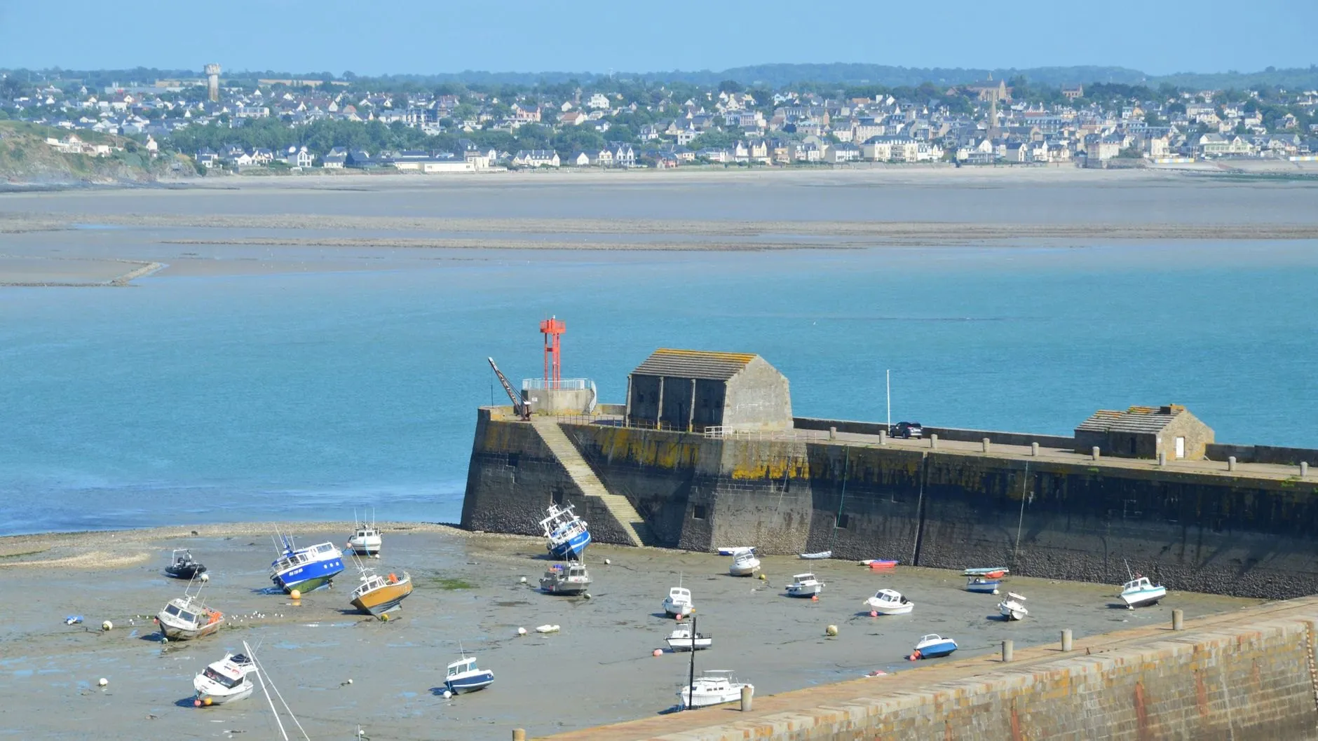
Halberry Roads
Walled harbour, open coast
- Spring range
- 7.9 m
- Tide
- Semidiurnal
- Avg. error
- 11 cm
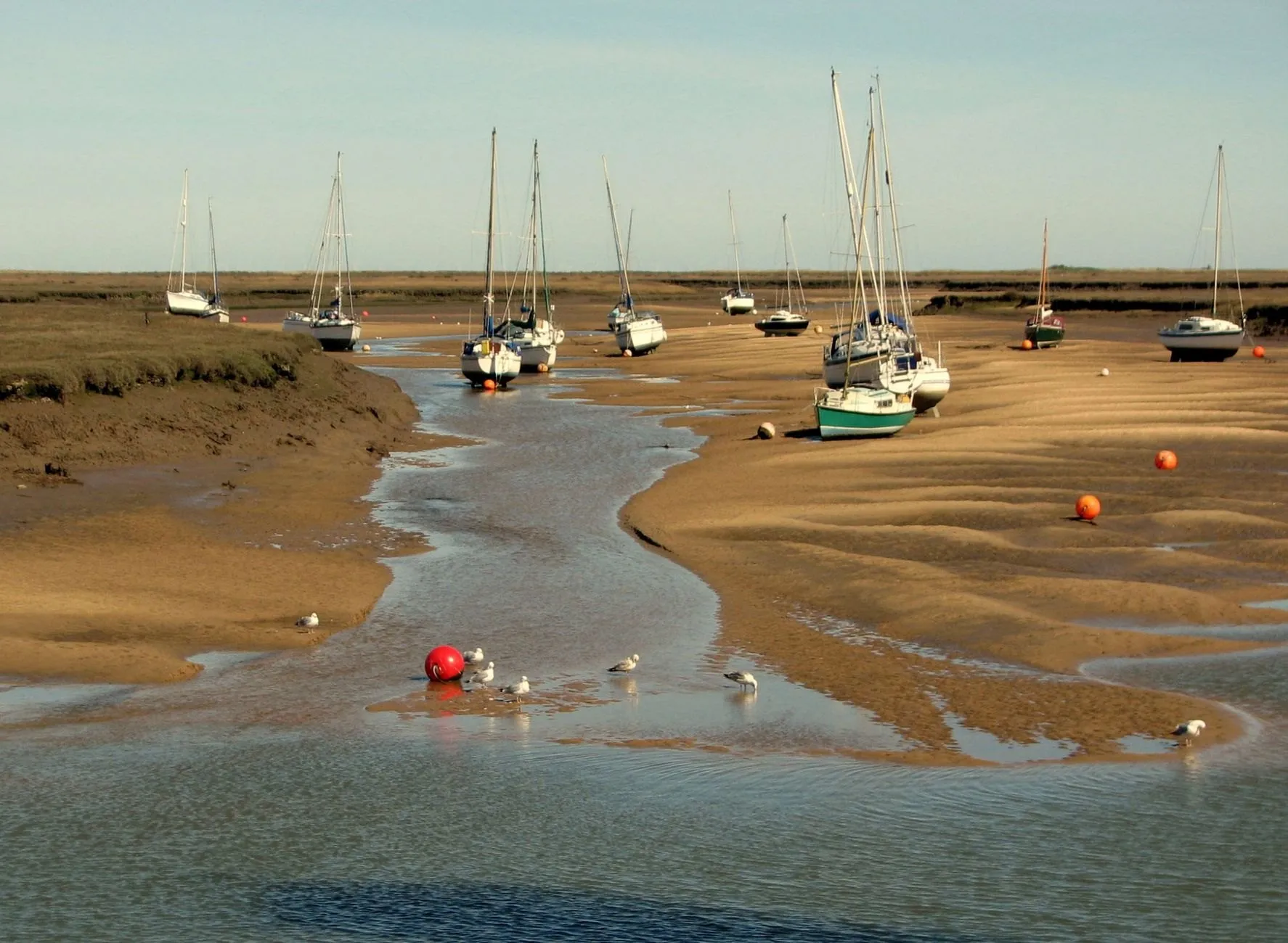
Skellow Bar
Barred entrance
- Spring range
- 5.3 m
- Tide
- Semidiurnal
- Avg. error
- 19 cm
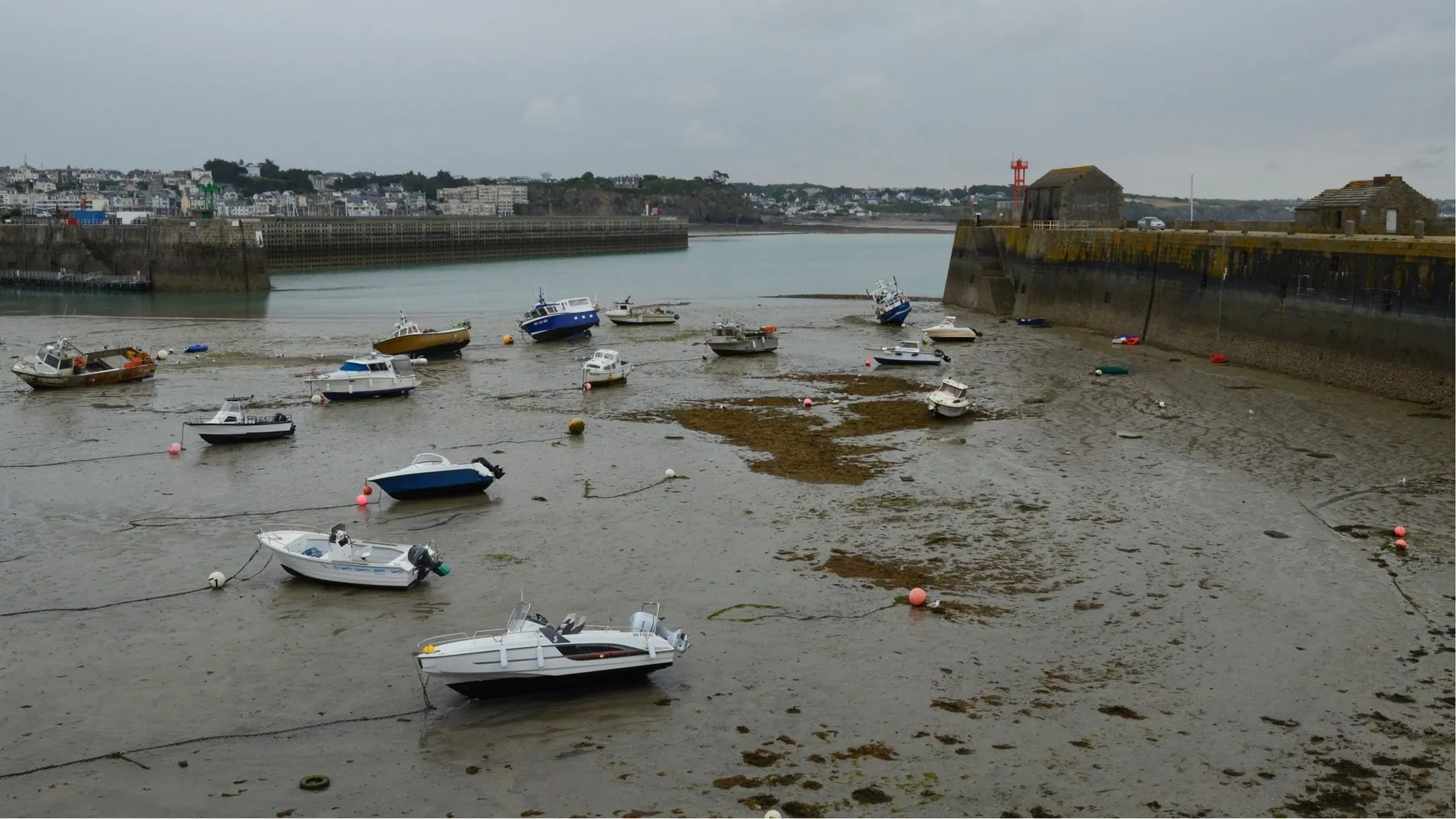
Nethermill Reach
Estuary basin on soft mud
- Spring range
- 6.3 m
- Tide
- Semidiurnal
- Avg. error
- 23 cm
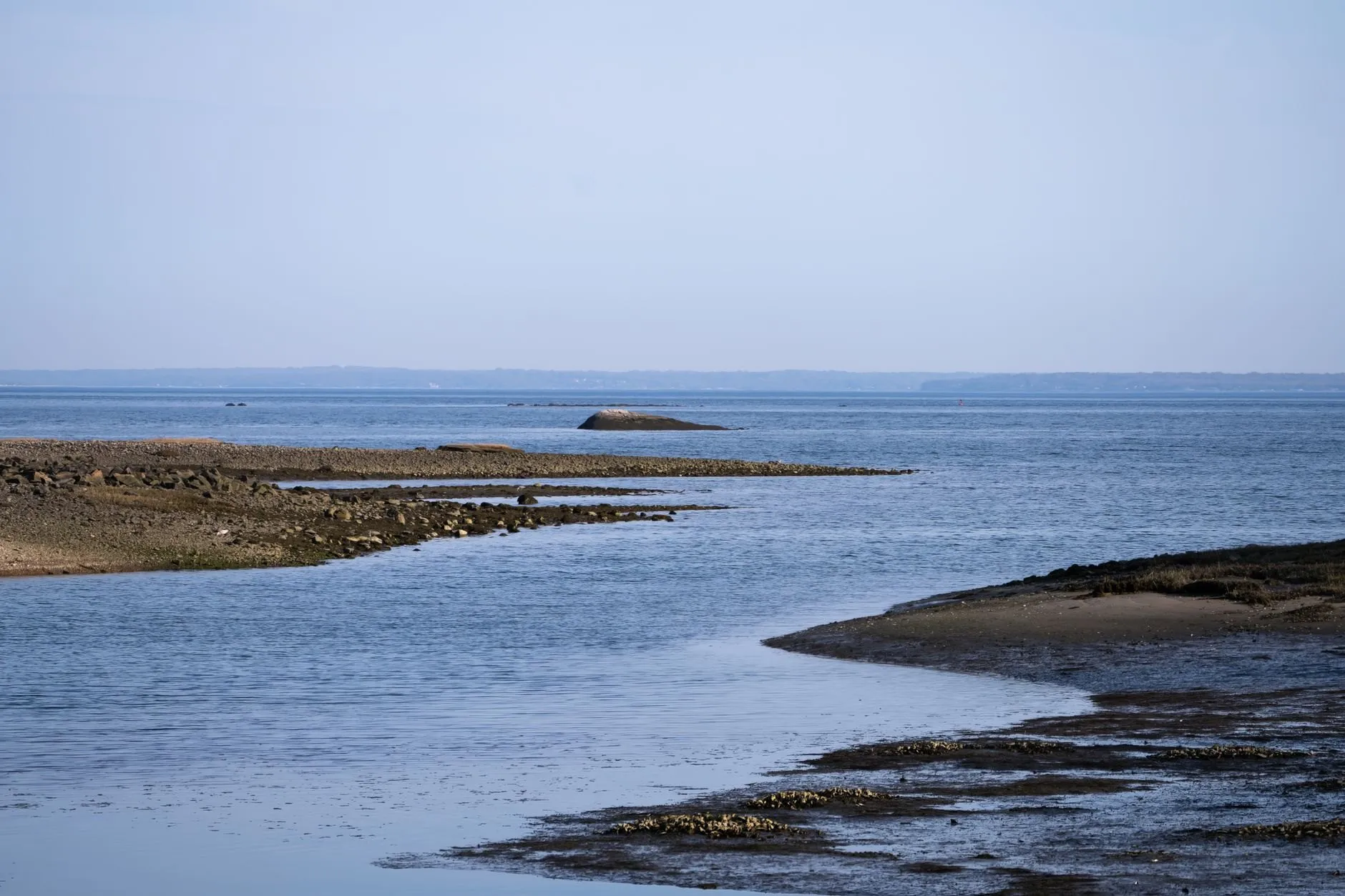
Cargreave Sound
Deep sound, mixed tide
- Spring range
- 1.7 m
- Tide
- Mixed
- Avg. error
- 8 cm
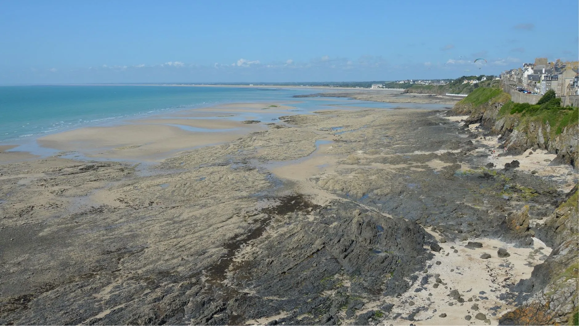
Ossett Head
Rocky headland
- Spring range
- 4.3 m
- Tide
- Semidiurnal
- Avg. error
- 9 cm
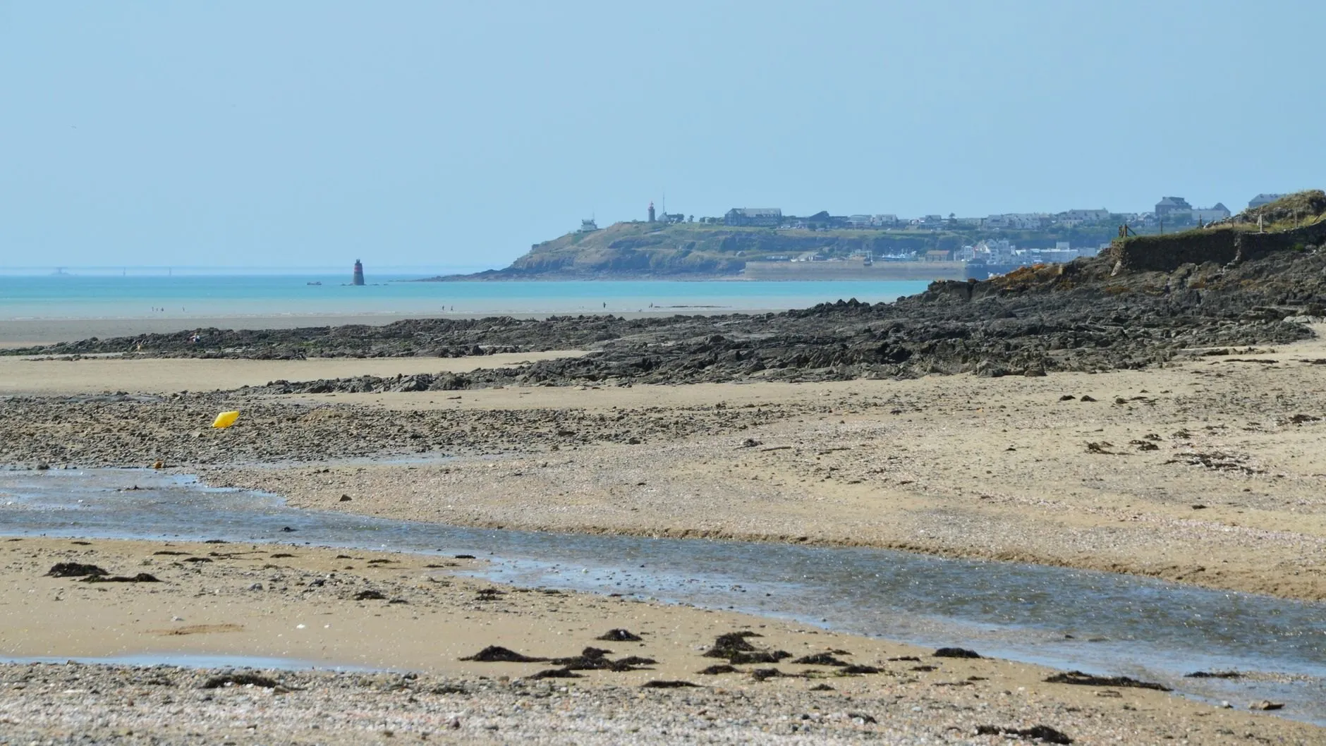
Feltwater Ness
Sand flats, small range
- Spring range
- 0.7 m
- Tide
- Mixed
- Avg. error
- 14 cm
Is your harbour missing?
We add ports where a gauge record exists. Tell us which one and we reply within a working day.