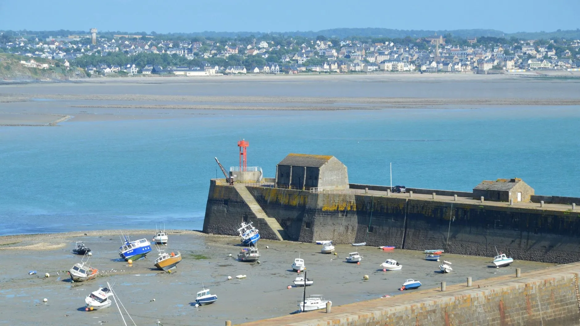
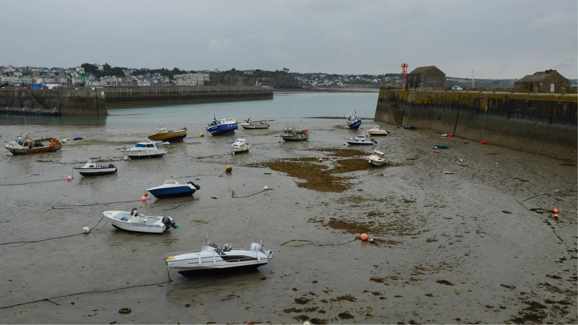
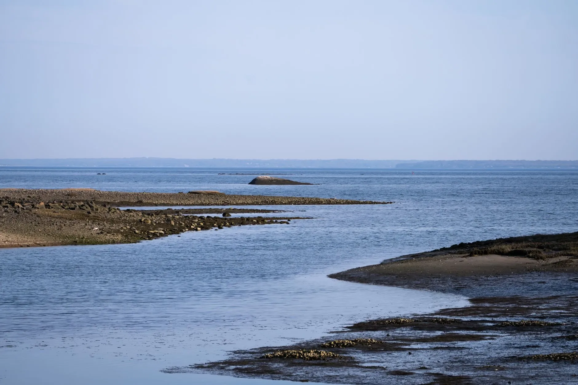
Sandbank coast · Barred entrance
Skellow Bar
A sand bar across the entrance puts a second high water on the curve, four hours after the first. Learn which one you can cross on.
Good for sailorsGood for surfers
- Spring range
- 5.3 m
- Neap range
- 2.5 m
- High water springs
- 7.0 m
- Tide type
- Semidiurnal
Today at Skellow Bar
Skellow Bar
Sunday 4 October
Heights in metres above chart datum
- Low water01:451.5 m
- High water06:065.6 m
- Low water07:345.4 m
- High water09:596.0 m
- Low water14:131.7 m
- High water18:325.6 m
- Low water19:585.4 m
- High water22:206.0 m
The next seven days
| Day | High water | Low water |
|---|---|---|
| Sun 4 Oct | 06:06 5.6 m09:59 6.0 m18:32 5.6 m22:20 6.0 m | 01:45 1.5 m07:34 5.4 m14:13 1.7 m19:58 5.4 m |
| Mon 5 Oct | 07:26 5.5 m10:49 6.3 m19:50 5.5 m23:09 6.2 m | 02:41 1.4 m07:50 5.5 m15:09 1.5 m20:18 5.5 m |
| Tue 6 Oct | 11:37 6.5 m23:57 6.4 m | 03:35 1.2 m16:02 1.4 m |
| Wed 7 Oct | 12:24 6.7 m | 04:28 1.0 m16:53 1.2 m |
| Thu 8 Oct | 00:43 6.6 m13:09 6.7 m | 05:18 0.9 m17:43 1.0 m |
| Fri 9 Oct | 01:28 6.6 m13:54 6.6 m | 06:06 0.8 m18:30 1.0 m |
| Sat 10 Oct | 02:14 6.5 m14:40 6.5 m | 06:54 0.8 m19:17 1.0 m |
The free app shows today and tomorrow. Pro (£18 a year) shows 365 days ahead, with alerts.
About the tide here
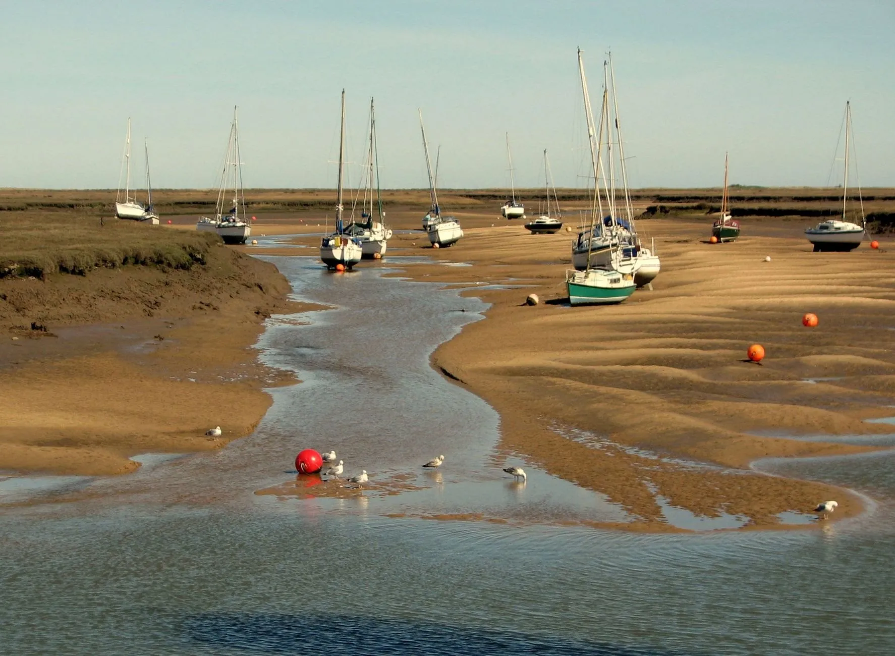
Skellow Bar is the port people ask us about most, because its curve does not look like a tide at all. The sand bar across the entrance slows the flood and the ebb unevenly, and the result is a second high water about four hours after the first. On a spring tide the stand between them can last most of an afternoon.
That is good news if you know it is coming and a trap if you do not. The first high water is usually the higher one, and the one to cross on. The second is lower, and the ebb after it runs hard over the bar.
Eight harmonic constituents do not fully describe a bar like this. The two high waters are predicted to within about twenty minutes; the exact height of the stand between them is less certain, and this page says so rather than hiding it. The surf on the outer bank works best on the first two hours of the flood.
Port facts
- Least depth over the bar
- 1.8 m at chart datum, shifts after winter gales
- Double high water
- Two peaks about four hours apart on springs
- Gauge
- Channel beacon inside the bar, since 2016
Carry Skellow Bar in your pocket
Save it as your home port and get an alert before the water turns.