Island sound · Deep sound, mixed tide
Cargreave Sound
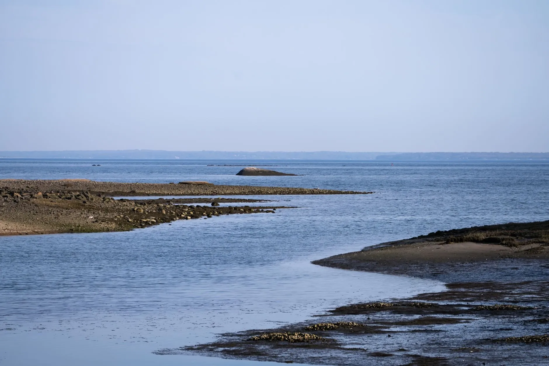
A mixed tide behind an island chain. One of the two daily highs is worth having and the other barely shows, and it changes with the moon.
Good for walkersGood for anglers
- Spring range
- 1.7 m
- Neap range
- 0.8 m
- High water springs
- 2.9 m
- Tide type
- Mixed, mainly semidiurnal
Today at Cargreave Sound
Cargreave Sound
Sunday 4 October
Heights in metres above chart datum
- High water00:092.2 m
- Low water04:511.5 m
- High water12:043.2 m
- Low water19:071.2 m
The next seven days
| Day | High water | Low water |
|---|---|---|
| Sun 4 Oct | 00:09 2.2 m12:04 3.2 m | 04:51 1.5 m19:07 1.2 m |
| Mon 5 Oct | 01:07 2.3 m13:05 3.2 m | 06:08 1.5 m19:54 1.2 m |
| Tue 6 Oct | 01:58 2.5 m14:01 3.1 m | 07:20 1.4 m20:36 1.2 m |
| Wed 7 Oct | 02:45 2.7 m14:55 3.1 m | 08:24 1.3 m21:14 1.2 m |
| Thu 8 Oct | 03:28 2.8 m15:46 3.0 m | 09:23 1.3 m21:49 1.2 m |
| Fri 9 Oct | 04:10 3.0 m16:35 2.8 m | 10:18 1.2 m22:21 1.3 m |
| Sat 10 Oct | 04:51 3.1 m17:23 2.6 m | 11:11 1.2 m22:52 1.4 m |
The free app shows today and tomorrow. Pro (£18 a year) shows 365 days ahead, with alerts.
About the tide here
Cargreave Sound is a deep channel sheltered behind a chain of low islands. The shape of the sound cancels much of the usual twice-a-day tide, and what is left is dominated by the once-a-day part. The result is a mixed tide: two highs and two lows most days, but one pair is much bigger than the other.
For walkers that matters. The ledges and tide pools on the island side only uncover on the big low, and that big low drifts through the day across the month. A tide table that just lists “low water” twice a day does not tell you which one to walk on. The curve does.
With deep water and a small range there is little to go wrong here, and Cargreave has the smallest average error of any port in the app.
Port facts
- Tide type
- Mixed, with a strong once-a-day component
- Typical range
- Under 2 m, even on springs
- Gauge
- Ferry slip on the east shore, since 2018
Carry Cargreave Sound in your pocket
Save it as your home port and get an alert before the water turns.