North coast · Walled harbour, open coast
Halberry Roads
The reference port. A big, well-behaved semidiurnal tide that empties the inner harbour at low springs and fills it to the pier tops at high.
Good for sailorsGood for walkers
- Spring range
- 7.9 m
- Neap range
- 3.7 m
- High water springs
- 9.3 m
- Tide type
- Semidiurnal
Today at Halberry Roads
Halberry Roads
Sunday 4 October
Heights in metres above chart datum
- Low water01:142.4 m
- High water07:158.2 m
- Low water13:502.6 m
- High water19:428.2 m
The next seven days
| Day | High water | Low water |
|---|---|---|
| Sun 4 Oct | 07:15 8.2 m19:42 8.2 m | 01:14 2.4 m13:50 2.6 m |
| Mon 5 Oct | 08:20 8.4 m20:44 8.5 m | 02:19 2.2 m14:52 2.3 m |
| Tue 6 Oct | 09:18 8.7 m21:40 8.8 m | 03:17 1.8 m15:46 1.9 m |
| Wed 7 Oct | 10:10 9.0 m22:30 9.0 m | 04:10 1.5 m16:36 1.7 m |
| Thu 8 Oct | 10:58 9.2 m23:17 9.2 m | 04:58 1.3 m17:22 1.5 m |
| Fri 9 Oct | 11:42 9.3 m | 05:43 1.2 m18:06 1.4 m |
| Sat 10 Oct | 00:00 9.2 m12:24 9.2 m | 06:26 1.3 m18:48 1.5 m |
The free app shows today and tomorrow. Pro (£18 a year) shows 365 days ahead, with alerts.
About the tide here
Halberry Roads is where every prediction in Wrackline is checked first. It is an open-coast port with a hard bottom, no bar and no river, so almost everything the water does here is astronomy. That makes it the fairest test of the arithmetic, and the port we recalibrate against before any other.
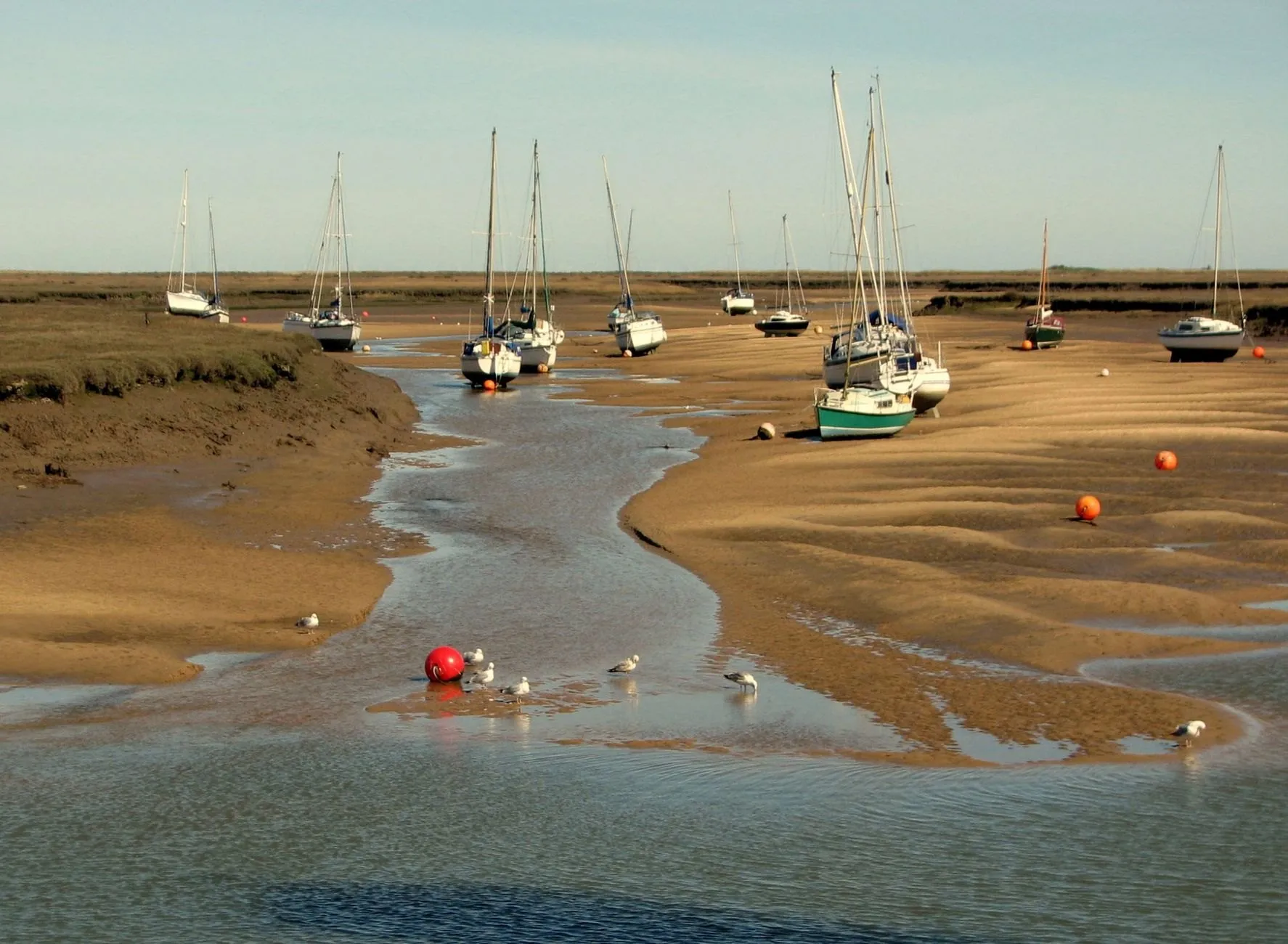
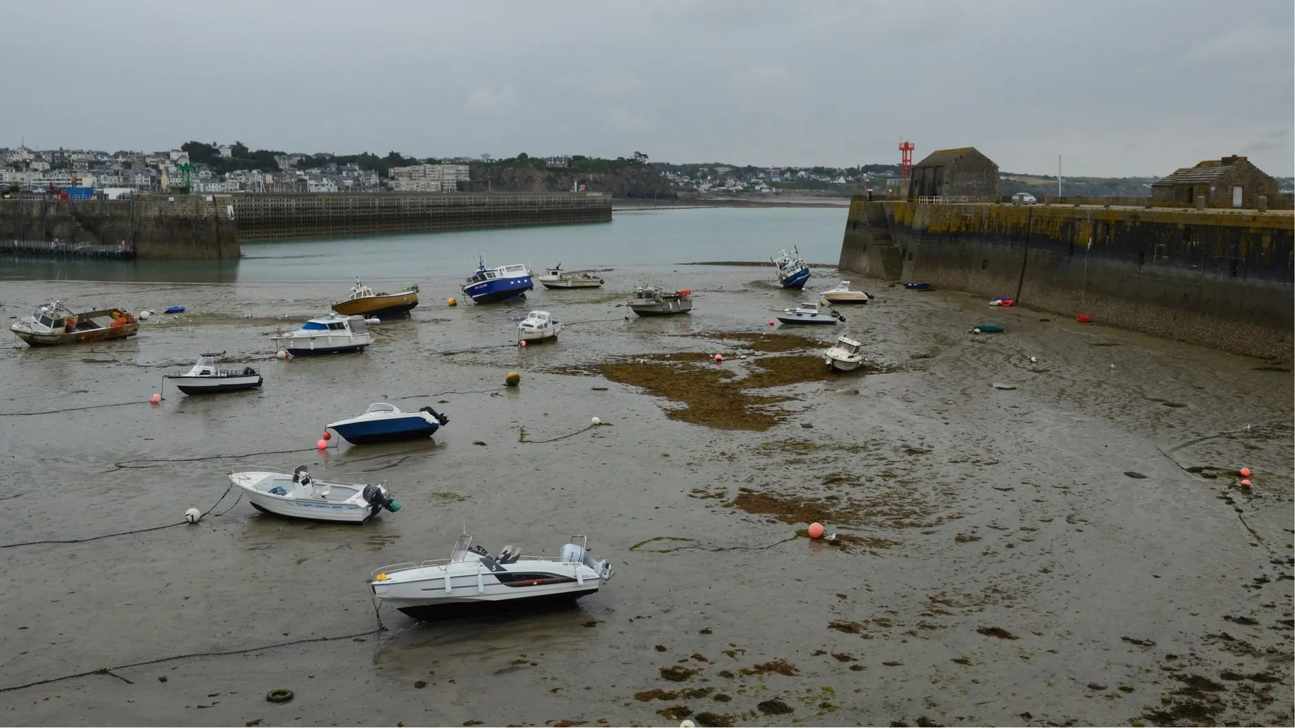
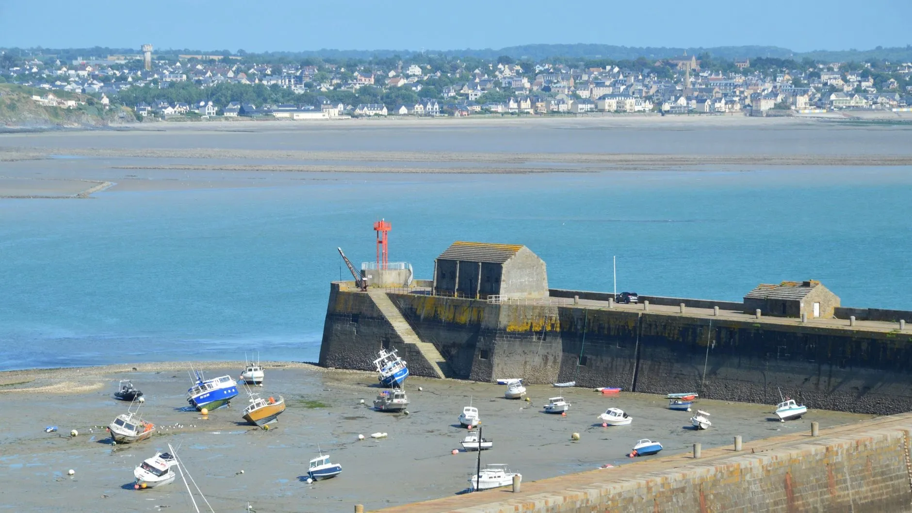
The range is large. On a big spring the harbour floor dries completely inside the pier heads and boats sit on their keels and legs for about six hours. On neaps a couple of metres of water stay in the outer basin all day, which is why local skippers talk about “Halberry springs” as a thing to plan a week around.
If you keep a boat here, the gate to the marina is the number that matters. Save the gate height as a drying height in the window finder and Wrackline gives you every opening for the next year.
Port facts
- Harbour dries
- About 3 hours either side of low water springs
- Gate to the marina
- Opens at 6.5 m, roughly 2.5 hours either side of high water
- Gauge
- Inner pier head, logging every six minutes since 2011
Carry Halberry Roads in your pocket
Save it as your home port and get an alert before the water turns.