Journal · Guides · 6 min read
Reading a tide curve before you launch
The rule of twelfths works on a textbook coast. Here is how to read the real curve instead, and why it matters at a barred harbour or up an estuary.
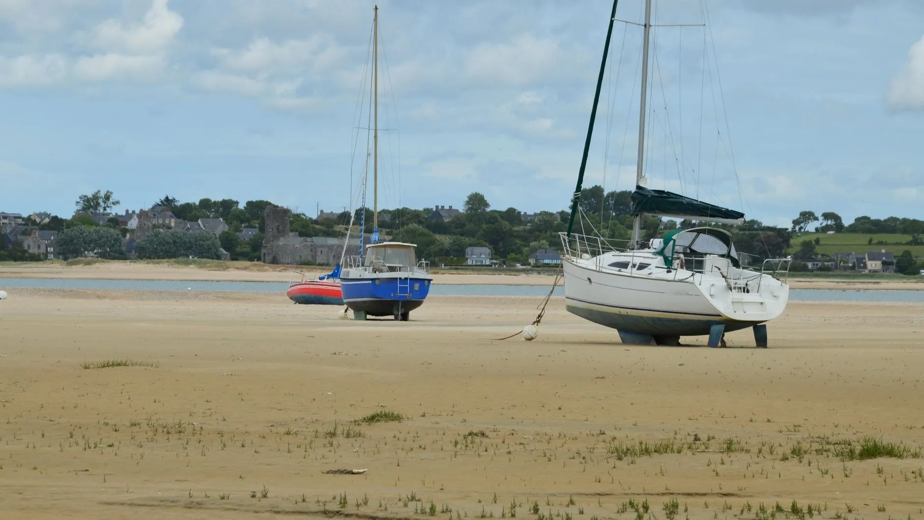
Most people learn the rule of twelfths: in the six hours from low to high water, the tide rises by one twelfth in the first hour, two in the second, three in the third and fourth, two in the fifth and one in the last. It is a good rule on a coast like Ossett Head, where the tide really is close to a smooth wave.
It is a poor rule almost everywhere else.
Where the rule breaks
At Nethermill Reach, nine miles up an estuary, the water rises in about four hours and falls over eight. Apply the rule of twelfths there and you will think you have water an hour before you do.
At Skellow Bar there are two high waters about four hours apart on springs. The rule has nothing to say about the second one.
What to read on the curve instead
Open the port in Wrackline and look at three things before you leave.
The slope at the time you plan to launch. A steep curve means the height changes fast, so a late start costs you more.
The height you actually need. Put it into the window finder as a drying height plus your draught. The shaded band shows exactly when you have it.
The day’s range. If today is near springs, the lows are lower and the highs higher. Every day in the app is labelled from neaps to springs.
And one thing it cannot show you
Weather. A strong offshore wind can hold the water down; a deep low can lift it. When surge watch flags a day, add a margin.